
Stacyville topographic map
Interactive map
Click on the map to display elevation.
About this map
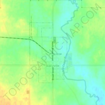
Name: Stacyville topographic map, elevation, terrain.
Location: Stacyville, Mitchell County, Iowa, United States (43.43163 -92.79050 43.44711 -92.77704)
Average elevation: 1,214 ft
Minimum elevation: 1,171 ft
Maximum elevation: 1,260 ft
Mitchell County trails, hiking, mountain biking, running and outdoor activities