
椒江 topographic map
Interactive map
Click on the map to display elevation.
About this map
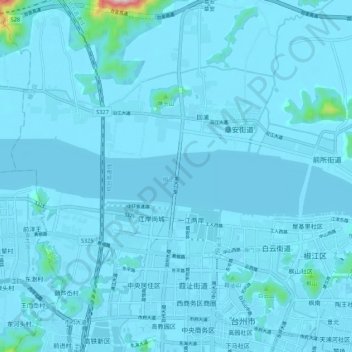
Name: 椒江 topographic map, elevation, terrain.
Location: 椒江, 椒江区, 台州市, 浙江省, 中国 (28.69214 121.34006 28.70207 121.44829)
Average elevation: 49 ft
Minimum elevation: -10 ft
Maximum elevation: 1,565 ft
Other topographic maps
Click on a map to view its topography, its elevation and its terrain.