
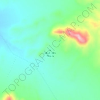
Mud Hills topographic map
Interactive map
Click on the map to display elevation.
About this map
Name: Mud Hills topographic map, elevation, terrain.
Location: Mud Hills, Clark County, Nevada, United States of America (36.42688 -114.12585 36.42698 -114.12575)
Average elevation: 2,451 ft
Minimum elevation: 2,290 ft
Maximum elevation: 2,927 ft
Other topographic maps
Click on a map to view its topography, its elevation and its terrain.