
Lighthouse Point topographic map
Interactive map
Click on the map to display elevation.
About this map
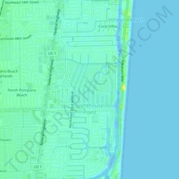
Name: Lighthouse Point topographic map, elevation, terrain.
Location: Lighthouse Point, Broward County, Florida, United States (26.26115 -80.09965 26.29792 -80.08033)
Average elevation: 13 ft
Minimum elevation: 0 ft
Maximum elevation: 59 ft
Broward County trails, hiking, mountain biking, running and outdoor activities