
Vermona topographic map
Interactive map
Click on the map to display elevation.
About this map
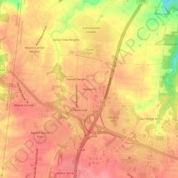
Name: Vermona topographic map, elevation, terrain.
Average elevation: 840 ft
Minimum elevation: 620 ft
Maximum elevation: 928 ft
Ohio trails, hiking, mountain biking, running and outdoor activities