
Arabia topographic map
Interactive map
Click on the map to display elevation.
About this map
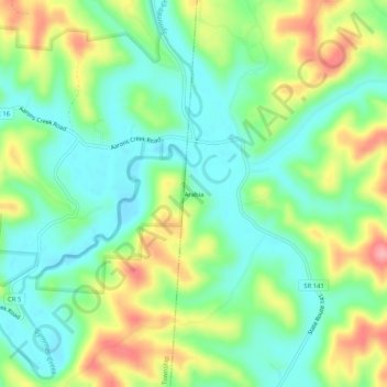
Name: Arabia topographic map, elevation, terrain.
Location: Arabia, Lawrence County, Ohio, 45678:45696, United States (38.63814 -82.49349 38.67814 -82.45349)
Average elevation: 699 ft
Minimum elevation: 561 ft
Maximum elevation: 942 ft
Ohio trails, hiking, mountain biking, running and outdoor activities