
Jeju-si topographic map
Interactive map
Click on the map to display elevation.
About this map
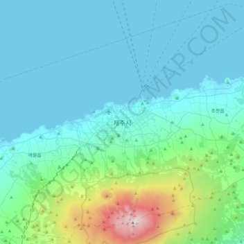
Name: Jeju-si topographic map, elevation, terrain.
Location: Jeju-si, Jeju, Jeju-do, 63183, South Korea (33.33306 126.35306 33.65306 126.67306)
Average elevation: 863 ft
Minimum elevation: -3 ft
Maximum elevation: 6,296 ft