
West Union topographic map
Interactive map
Click on the map to display elevation.
About this map
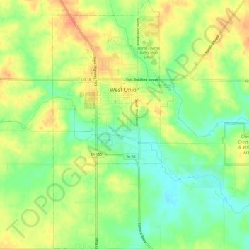
Name: West Union topographic map, elevation, terrain.
Location: West Union, Fayette County, Iowa, United States (42.93536 -91.82439 42.97753 -91.79642)
Average elevation: 1,148 ft
Minimum elevation: 1,076 ft
Maximum elevation: 1,217 ft
Fayette County trails, hiking, mountain biking, running and outdoor activities
Other topographic maps
Click on a map to view its topography, its elevation and its terrain.