
Franklin Township topographic map
Interactive map
Click on the map to display elevation.
About this map
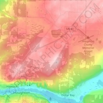
Name: Franklin Township topographic map, elevation, terrain.
Location: Franklin Township, Houghton County, Michigan, United States (47.11286 -88.58364 47.19960 -88.48914)
Average elevation: 978 ft
Minimum elevation: 581 ft
Maximum elevation: 1,224 ft
Houghton County trails, hiking, mountain biking, running and outdoor activities