
Grinnell topographic map
Interactive map
Click on the map to display elevation.
About this map
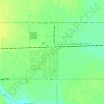
Name: Grinnell topographic map, elevation, terrain.
Location: Grinnell, Gove County, Kansas, 67738, United States (39.11833 -100.63672 39.13319 -100.62254)
Average elevation: 2,913 ft
Minimum elevation: 2,881 ft
Maximum elevation: 2,940 ft
Gove County trails, hiking, mountain biking, running and outdoor activities