
Sponseller topographic map
Interactive map
Click on the map to display elevation.
About this map
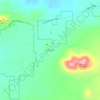
Name: Sponseller topographic map, elevation, terrain.
Location: Sponseller, Navajo County, Arizona, United States (34.17643 -109.90733 34.21643 -109.86733)
Average elevation: 7,129 ft
Minimum elevation: 6,942 ft
Maximum elevation: 7,638 ft
Arizona trails, hiking, mountain biking, running and outdoor activities