
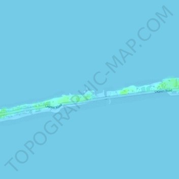
Djarrit Anchorage topographic map
Interactive map
Click on the map to display elevation.
About this map
Name: Djarrit Anchorage topographic map, elevation, terrain.
Location: Djarrit Anchorage, Majuro, 96060, Marshall Islands (7.08418 171.35242 7.08428 171.35252)
Average elevation: 0 ft
Minimum elevation: 0 ft
Maximum elevation: 26 ft