
Libertyville topographic map
Interactive map
Click on the map to display elevation.
About this map
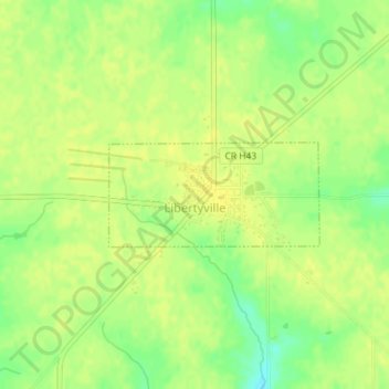
Name: Libertyville topographic map, elevation, terrain.
Location: Libertyville, Jefferson County, Iowa, United States (40.95470 -92.05937 40.96198 -92.03998)
Average elevation: 751 ft
Minimum elevation: 705 ft
Maximum elevation: 771 ft
Jefferson County trails, hiking, mountain biking, running and outdoor activities
Other topographic maps
Click on a map to view its topography, its elevation and its terrain.