
WABD-AM (Fort Campbell) topographic map
Interactive map
Click on the map to display elevation.
About this map
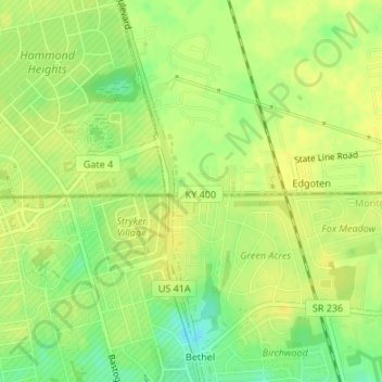
Name: WABD-AM (Fort Campbell) topographic map, elevation, terrain.
Average elevation: 545 ft
Minimum elevation: 495 ft
Maximum elevation: 564 ft