Geolocate

Colman Park topographic map

Interactive map

Click on the map to display elevation.

About this map

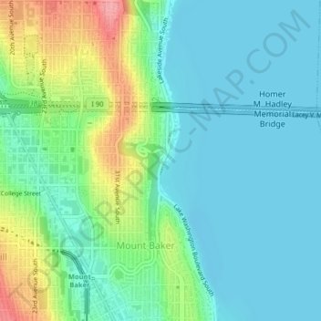
Name: Colman Park topographic map, elevation, terrain.

Location: Colman Park, 1800, Mount Baker, Seattle, King County, Washington, 98144, United States of America (47.58368 -122.29321 47.58773 -122.28573)

Average elevation: 89 ft

Minimum elevation: -3 ft

Maximum elevation: 335 ft

Other topographic maps

Click on a map to view its topography, its elevation and its terrain.

Lower Queen Anne

United States of America > Washington > Seattle > Lower Queen Anne

Lower Queen Anne, Seattle, King County, Washington, 98121, United States of America

Average elevation: 102 ft

Olympic Sculpture Park

United States of America > Washington > Seattle > Lower Queen Anne

Olympic Sculpture Park, 2901, South Lake Union, Lower Queen Anne, Seattle, King County, Washington, 98121, United States of America

Average elevation: 62 ft

Ravenna

United States of America > Washington > Seattle > Ravenna

Ravenna, Seattle, King County, Washington, 98115, United States of America

Average elevation: 230 ft