
Easley topographic map
Interactive map
Click on the map to display elevation.
About this map
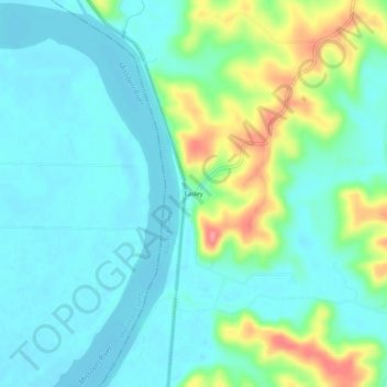
Name: Easley topographic map, elevation, terrain.
Location: Easley, Boone County, Missouri, United States of America (38.78170 -92.39602 38.82170 -92.35602)
Average elevation: 623 ft
Minimum elevation: 551 ft
Maximum elevation: 827 ft