
Junction City topographic map
Interactive map
Click on the map to display elevation.
About this map
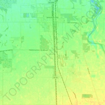
Name: Junction City topographic map, elevation, terrain.
Location: Junction City, Lane County, Oregon, United States (44.14952 -123.23989 44.23267 -123.18679)
Average elevation: 335 ft
Minimum elevation: 292 ft
Maximum elevation: 371 ft
Lane County trails, hiking, mountain biking, running and outdoor activities
Other topographic maps
Click on a map to view its topography, its elevation and its terrain.
Thurston Hills Natural Area
United States > Oregon > Lane County > Springfield
Average elevation: 1,063 ft