
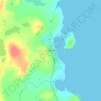
Raufarhöfn topographic map
Interactive map
Click on the map to display elevation.
About this map
Name: Raufarhöfn topographic map, elevation, terrain.
Location: Raufarhöfn, Norðurþing, Northeastern Region, 675, Iceland (66.43300 -15.97094 66.47300 -15.93094)
Average elevation: 43 ft
Minimum elevation: -7 ft
Maximum elevation: 180 ft