
Peyia topographic map
Interactive map
Click on the map to display elevation.
About this map
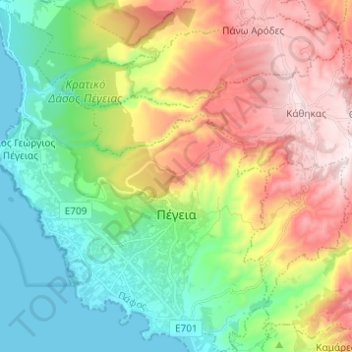
Name: Peyia topographic map, elevation, terrain.
Location: Peyia, Δήμος Ακάμα, Paphos District, Cyprus (34.84405 32.31336 34.94463 32.41296)
Average elevation: 889 ft
Minimum elevation: 0 ft
Maximum elevation: 2,254 ft
Other topographic maps
Click on a map to view its topography, its elevation and its terrain.