
Ans topographic map
Interactive map
Click on the map to display elevation.
About this map
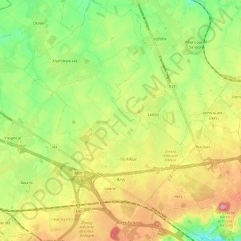
Name: Ans topographic map, elevation, terrain.
Location: Ans, Liège, Wallonia, 4430, Belgium (50.64916 5.46101 50.72291 5.55246)
Average elevation: 522 ft
Minimum elevation: 325 ft
Maximum elevation: 745 ft