
Poznań County topographic map
Interactive map
Click on the map to display elevation.
About this map
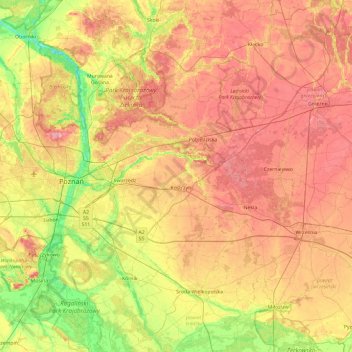
Name: Poznań County topographic map, elevation, terrain.
Location: Poznań County, Greater Poland Voivodeship, Poland (52.15160 16.45282 52.68046 17.39773)
Average elevation: 308 ft
Minimum elevation: 144 ft
Maximum elevation: 469 ft
Other topographic maps
Click on a map to view its topography, its elevation and its terrain.
Modlin
Poland > Greater Poland Voivodeship > Ostrów Wielkopolski County > Zamość
Average elevation: 430 ft