
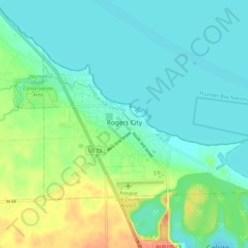
Rogers City topographic map
Interactive map
Click on the map to display elevation.
About this map
Name: Rogers City topographic map, elevation, terrain.
Average elevation: 617 ft
Minimum elevation: 564 ft
Maximum elevation: 761 ft
Presque Isle County trails, hiking, mountain biking, running and outdoor activities
Other topographic maps
Click on a map to view its topography, its elevation and its terrain.
Orchard Point
United States > Michigan > Presque Isle County > Presque Isle Township
Average elevation: 650 ft