
Bergland Township topographic map
Interactive map
Click on the map to display elevation.
About this map
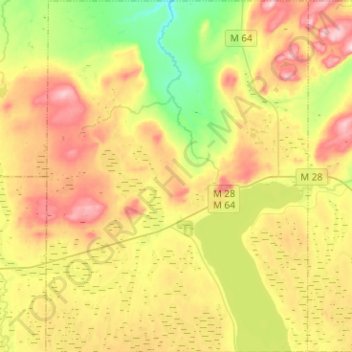
Name: Bergland Township topographic map, elevation, terrain.
Average elevation: 1,335 ft
Minimum elevation: 971 ft
Maximum elevation: 1,762 ft
Ontonagon County trails, hiking, mountain biking, running and outdoor activities
Other topographic maps
Click on a map to view its topography, its elevation and its terrain.
Adventure Mountain
United States > Michigan > Ontonagon County > Mass City
Average elevation: 1,155 ft