
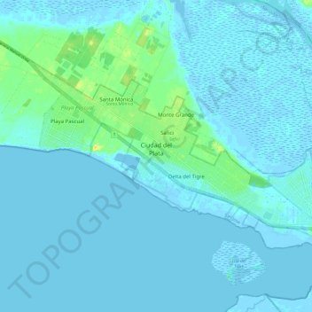
Ciudad del Plata topographic map
Interactive map
Click on the map to display elevation.
About this map
Name: Ciudad del Plata topographic map, elevation, terrain.
Location: Ciudad del Plata, San José, 80500, Uruguay (-34.78321 -56.46798 -34.72435 -56.34764)
Average elevation: 10 ft
Minimum elevation: -13 ft
Maximum elevation: 89 ft