
Wolverine topographic map
Interactive map
Click on the map to display elevation.
About this map
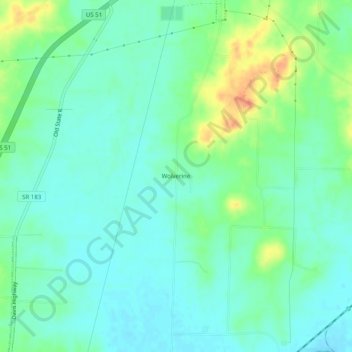
Name: Wolverine topographic map, elevation, terrain.
Location: Wolverine, Obion County, Tennessee, United States (36.28757 -89.18451 36.32757 -89.14451)
Average elevation: 335 ft
Minimum elevation: 289 ft
Maximum elevation: 449 ft
Tennessee trails, hiking, mountain biking, running and outdoor activities