
Kuhmo topographic map
Interactive map
Click on the map to display elevation.
Kuhmo
The topography is made up of low hills, of which the most significant are near the Russian frontier on the eastern side. To the south, Kuhmo is bordered by North Karelia.
About this map
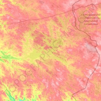
Name: Kuhmo topographic map, elevation, terrain.
Average elevation: 666 ft
Minimum elevation: 341 ft
Maximum elevation: 997 ft