
Grand Cay topographic map
Interactive map
Click on the map to display elevation.
About this map
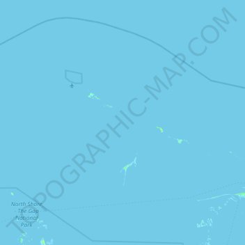
Name: Grand Cay topographic map, elevation, terrain.
Location: Grand Cay, The Bahamas (26.80864 -78.64558 27.47346 -77.77506)
Average elevation: 0 ft
Minimum elevation: -7 ft
Maximum elevation: 39 ft
Other topographic maps
Click on a map to view its topography, its elevation and its terrain.