
Springfield topographic map
Interactive map
Click on the map to display elevation.
About this map
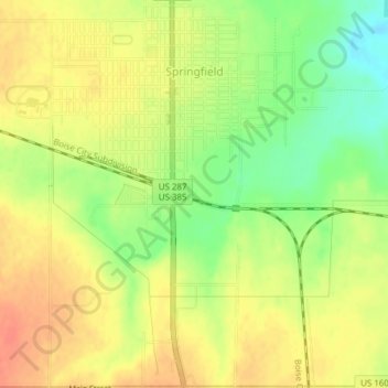
Name: Springfield topographic map, elevation, terrain.
Location: Springfield, Baca County, Colorado, 81073, United States (37.38347 -102.63775 37.41393 -102.60455)
Average elevation: 4,367 ft
Minimum elevation: 4,278 ft
Maximum elevation: 4,426 ft
Other topographic maps
Click on a map to view its topography, its elevation and its terrain.
Campo
United States > Colorado > Baca County
Campo, Baca County, Colorado, United States
Average elevation: 4,344 ft