
Campo topographic map
Click on the map to display elevation.
About this map
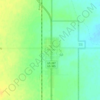
Name: Campo topographic map, elevation, terrain.
Location: Campo, Baca County, Colorado, United States (37.10121 -102.58169 37.10835 -102.57526)
Average elevation: 4,344 ft
Minimum elevation: 4,308 ft
Maximum elevation: 4,383 ft
Baca County trails, hiking, mountain biking, running and outdoor activities
Other topographic maps
Click on a map to view its topography, its elevation and its terrain.