
Redding topographic map
Interactive map
Click on the map to display elevation.
About this map
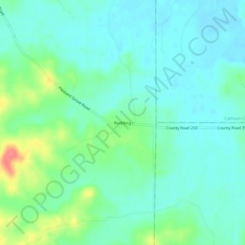
Name: Redding topographic map, elevation, terrain.
Location: Redding, Grenada County, Mississippi, United States (33.70262 -89.53313 33.74262 -89.49313)
Average elevation: 295 ft
Minimum elevation: 240 ft
Maximum elevation: 459 ft
Mississippi trails, hiking, mountain biking, running and outdoor activities