
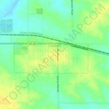
Clarence topographic map
Interactive map
Click on the map to display elevation.
About this map
Name: Clarence topographic map, elevation, terrain.
Location: Clarence, Cedar County, Iowa, United States (41.88092 -91.07031 41.89108 -91.04465)
Average elevation: 830 ft
Minimum elevation: 791 ft
Maximum elevation: 876 ft
Cedar County trails, hiking, mountain biking, running and outdoor activities
Other topographic maps
Click on a map to view its topography, its elevation and its terrain.