
Ainsworth topographic map
Interactive map
Click on the map to display elevation.
About this map
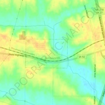
Name: Ainsworth topographic map, elevation, terrain.
Location: Ainsworth, Washington County, Iowa, United States (41.28632 -91.56164 41.29440 -91.54725)
Average elevation: 709 ft
Minimum elevation: 659 ft
Maximum elevation: 758 ft
Washington County trails, hiking, mountain biking, running and outdoor activities