
Lake City topographic map
Interactive map
Click on the map to display elevation.
About this map
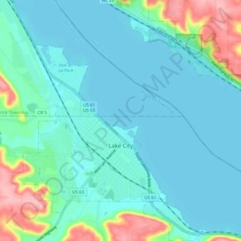
Name: Lake City topographic map, elevation, terrain.
Location: Lake City, Wabasha County, Minnesota, 55041, United States (44.42167 -92.30942 44.48760 -92.23798)
Average elevation: 755 ft
Minimum elevation: 659 ft
Maximum elevation: 1,165 ft
Wabasha County trails, hiking, mountain biking, running and outdoor activities
Other topographic maps
Click on a map to view its topography, its elevation and its terrain.