
Harwood topographic map
Interactive map
Click on the map to display elevation.
About this map
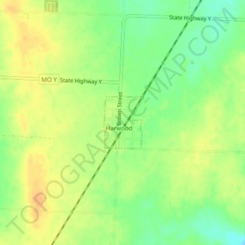
Name: Harwood topographic map, elevation, terrain.
Location: Harwood, Vernon County, Missouri, United States of America (37.95383 -94.15647 37.95960 -94.15091)
Average elevation: 850 ft
Minimum elevation: 791 ft
Maximum elevation: 896 ft