
Kent topographic map
Interactive map
Click on the map to display elevation.
About this map
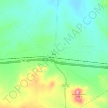
Name: Kent topographic map, elevation, terrain.
Location: Kent, Culberson County, Texas, United States of America (31.04930 -104.23714 31.08930 -104.19714)
Average elevation: 4,226 ft
Minimum elevation: 4,032 ft
Maximum elevation: 4,642 ft