
Claryville topographic map
Interactive map
Click on the map to display elevation.
About this map
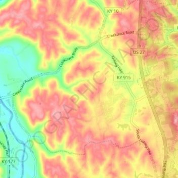
Name: Claryville topographic map, elevation, terrain.
Location: Claryville, Campbell County, Kentucky, 41001, United States (38.89618 -84.44354 38.95004 -84.37824)
Average elevation: 712 ft
Minimum elevation: 469 ft
Maximum elevation: 883 ft
Campbell County trails, hiking, mountain biking, running and outdoor activities