
The Village topographic map
Interactive map
Click on the map to display elevation.
About this map
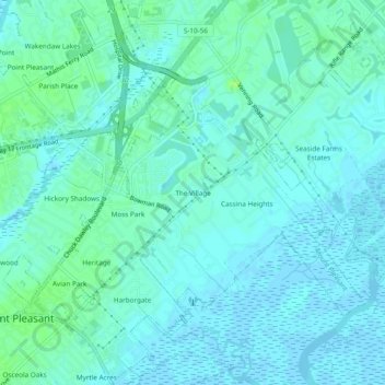
Name: The Village topographic map, elevation, terrain.
Average elevation: 13 ft
Minimum elevation: -10 ft
Maximum elevation: 36 ft
Charleston County trails, hiking, mountain biking, running and outdoor activities
Other topographic maps
Click on a map to view its topography, its elevation and its terrain.
Hamlin Sound
United States > South Carolina > Charleston County > Mount Pleasant
Average elevation: 3 ft