
Thousand Springs topographic map
Interactive map
Click on the map to display elevation.
About this map
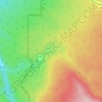
Name: Thousand Springs topographic map, elevation, terrain.
Average elevation: 5,039 ft
Minimum elevation: 4,606 ft
Maximum elevation: 5,489 ft
Other topographic maps
Click on a map to view its topography, its elevation and its terrain.
McKenzie River
United States of America > Oregon
The McKenzie River drains a region of about 1,300 square miles (3,400 km2) and is one of the primary tributaries of the Willamette River. Elevations in the watershed range from 10,358 feet (3,157 m) at the summit of the South Sister to 375 feet (114 m) at the McKenzie's mouth on the Willamette River north of…
Average elevation: 623 ft