
Farmland topographic map
Interactive map
Click on the map to display elevation.
About this map
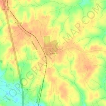
Name: Farmland topographic map, elevation, terrain.
Location: Farmland, Grant Parish, Louisiana, 71467, United States (31.53295 -92.41403 31.57295 -92.37403)
Average elevation: 161 ft
Minimum elevation: 69 ft
Maximum elevation: 207 ft
Louisiana trails, hiking, mountain biking, running and outdoor activities