
Grand Junction topographic map
Interactive map
Click on the map to display elevation.
About this map
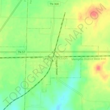
Name: Grand Junction topographic map, elevation, terrain.
Location: Grand Junction, Hardeman County, Tennessee, United States (35.04015 -89.20809 35.05924 -89.17335)
Average elevation: 574 ft
Minimum elevation: 489 ft
Maximum elevation: 666 ft
Tennessee trails, hiking, mountain biking, running and outdoor activities