
Sainte-Béatrix topographic map
Interactive map
Click on the map to display elevation.
About this map
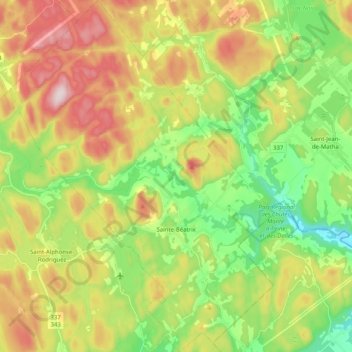
Name: Sainte-Béatrix topographic map, elevation, terrain.
Location: Sainte-Béatrix, Matawinie, Lanaudière, Quebec, Canada (46.14657 -73.71676 46.28651 -73.56419)
Average elevation: 873 ft
Minimum elevation: 328 ft
Maximum elevation: 1,627 ft
Other topographic maps
Click on a map to view its topography, its elevation and its terrain.