
Várzea da Serra topographic map
Interactive map
Click on the map to display elevation.
About this map
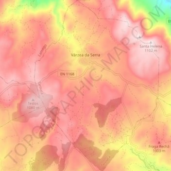
Name: Várzea da Serra topographic map, elevation, terrain.
Location: Várzea da Serra, Tarouca, Viseu, Portugal (40.95531 -7.85065 41.01659 -7.79140)
Average elevation: 3,143 ft
Minimum elevation: 2,067 ft
Maximum elevation: 3,609 ft
Other topographic maps
Click on a map to view its topography, its elevation and its terrain.