
Saugeen River topographic map
Interactive map
Click on the map to display elevation.
About this map
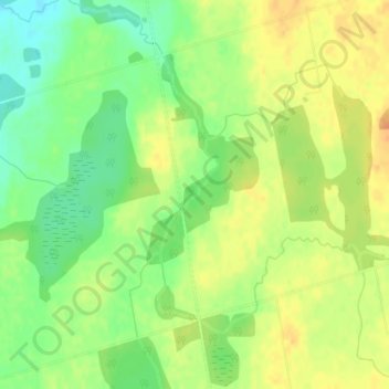
Name: Saugeen River topographic map, elevation, terrain.
Location: Saugeen River, Grey Highlands, Grey County, Ontario, Canada (44.23581 -80.40851 44.24361 -80.40293)
Average elevation: 1,686 ft
Minimum elevation: 1,621 ft
Maximum elevation: 1,739 ft
Other topographic maps
Click on a map to view its topography, its elevation and its terrain.
Priceville
Canada > Ontario > Grey Highlands > Priceville
Priceville, Grey Highlands, Grey County, Southwestern Ontario, Ontario, Canada
Average elevation: 1,552 ft