
Fort Mill topographic map
Interactive map
Click on the map to display elevation.
About this map
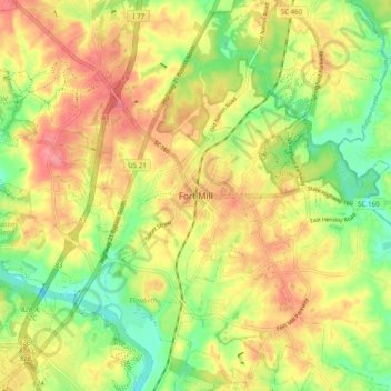
Name: Fort Mill topographic map, elevation, terrain.
Location: Fort Mill, York County, South Carolina, 29716, United States (34.96737 -80.98508 35.04737 -80.90508)
Average elevation: 597 ft
Minimum elevation: 466 ft
Maximum elevation: 715 ft
York County trails, hiking, mountain biking, running and outdoor activities