
Yushu City topographic map
Interactive map
Click on the map to display elevation.
About this map
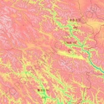
Name: Yushu City topographic map, elevation, terrain.
Location: Yushu City, Yushu Tibetan Autonomous Prefecture, Qinghai, PRC (32.02753 95.68113 33.76366 97.73058)
Average elevation: 14,731 ft
Minimum elevation: 11,463 ft
Maximum elevation: 18,337 ft
Other topographic maps
Click on a map to view its topography, its elevation and its terrain.
Chengxi District
Chengxi District, Xining City, Qinghai, 810000, PRC
Average elevation: 7,894 ft
Gonghe County
Gonghe County, Hainan Tibetan Autonomous Prefecture, Qinghai, PRC
Average elevation: 11,325 ft