
Gunib topographic map
Interactive map
Click on the map to display elevation.
About this map
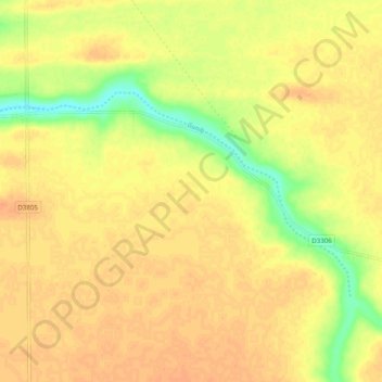
Name: Gunib topographic map, elevation, terrain.
Location: Gunib, Otjozondjupa, Namibia (-19.75565 18.57929 -19.70755 18.67777)
Average elevation: 4,022 ft
Minimum elevation: 3,947 ft
Maximum elevation: 4,055 ft
Other topographic maps
Click on a map to view its topography, its elevation and its terrain.