
Whitecourt topographic map
Interactive map
Click on the map to display elevation.
About this map
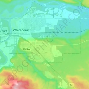
Name: Whitecourt topographic map, elevation, terrain.
Location: Whitecourt, Alberta, Canada (54.10860 -115.72668 54.16603 -115.60142)
Average elevation: 2,359 ft
Minimum elevation: 2,211 ft
Maximum elevation: 2,733 ft