
Roswell topographic map
Interactive map
Click on the map to display elevation.
About this map
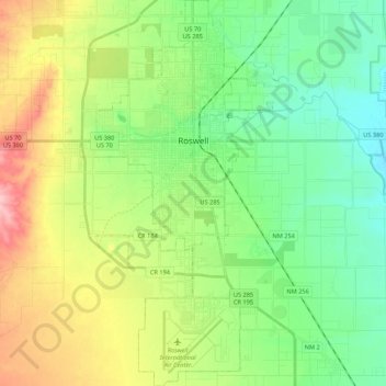
Name: Roswell topographic map, elevation, terrain.
Location: Roswell, Chaves County, New Mexico, United States (33.28010 -104.58627 33.45973 -104.47536)
Average elevation: 3,629 ft
Minimum elevation: 3,468 ft
Maximum elevation: 3,934 ft
Chaves County trails, hiking, mountain biking, running and outdoor activities
Other topographic maps
Click on a map to view its topography, its elevation and its terrain.