
الحامة topographic map
Interactive map
Click on the map to display elevation.
About this map
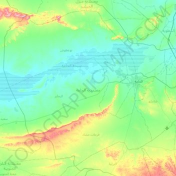
Name: الحامة topographic map, elevation, terrain.
Location: الحامة, Gabès, 6062, Tunisia (33.60191 9.24809 34.12852 9.96613)
Average elevation: 394 ft
Minimum elevation: 62 ft
Maximum elevation: 1,834 ft
Other topographic maps
Click on a map to view its topography, its elevation and its terrain.