
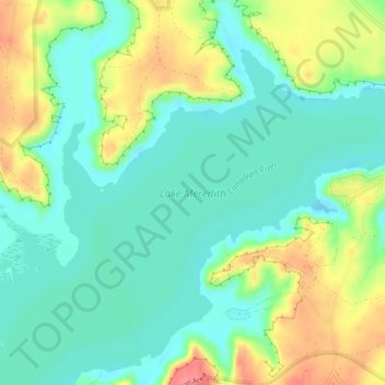
Lake Meredith topographic map
Interactive map
Click on the map to display elevation.
About this map
Name: Lake Meredith topographic map, elevation, terrain.
Location: Lake Meredith, Hutchinson County, Texas, United States (35.69171 -101.59735 35.71992 -101.55094)
Average elevation: 2,972 ft
Minimum elevation: 2,881 ft
Maximum elevation: 3,140 ft
Hutchinson County trails, hiking, mountain biking, running and outdoor activities
Other topographic maps
Click on a map to view its topography, its elevation and its terrain.